An electronic compass is a combination of a magnetometer, tilt sensors and optional accelerometers and gyros that provide orientation and measurement within a growing number of applications. If you’re wondering if a compass may be the missing piece in your project, here a few application examples.
1. Orientation Data for Unmanned Subsea Vehicles
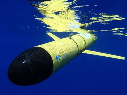
Autonomous underwater vehicles (AUVs) are robotic vessels that operate without input from an operator. AUVs are critical for surveying ocean floors for the oil and gas industry, conducting research on subsea environments and recovering wreckage.
Electronic compasses are used as components within unmanned marine equipment. This provides orientation so the AUV can make changes in direction without real-time control from an operator. For undersea applications, the ECL, lower power, and ECG, gyro-stabilized, eCompasses are common solutions.
2. Marine GPS Navigation Equipment & Antenna Positioning
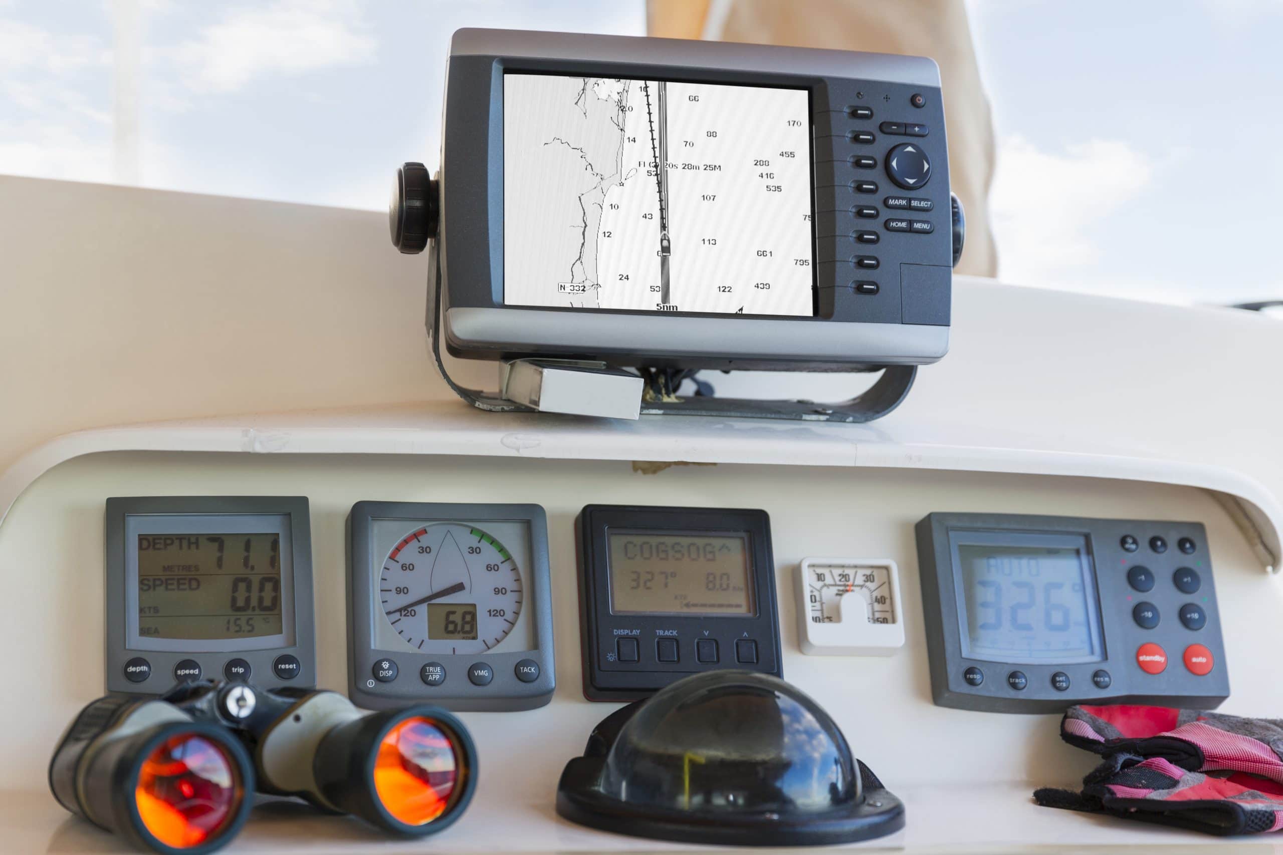
For many years, ships and boats have been using compasses within their navigation equipment. To efficiently travel from one destination to another, a compass is used for orientation within GPS navigation equipment. They are also frequently used for antenna positioning aboard various vessels.
With NMEA 0183 communications protocol, the ECG and ECV 3D eCompasses are useful aboard navigation systems due to their ruggedness and accuracy.
3. Navigation Data for Unmanned Aerial Vehicles
The unmanned aerial vehicle (UAV), also known as the drone, is an aircraft that operates without direct control from an onboard operator. It is commonly used by the military for surveying and attacking dangerous areas, but also has uses in civilian life. Police, fire departments, and security teams use drones to scan areas for search and rescue and general research.
Due to their accuracy, low power, and durability, electronic compasses are key components within a UAV’s navigation system. With a 3-axis magnetometer, gyroscope, accelerometer, and 2-axis tilt sensor, the ECV eCompass is an ideal solution for providing the orientation data of a UAV.
4. Geostationary Satellite Positioning
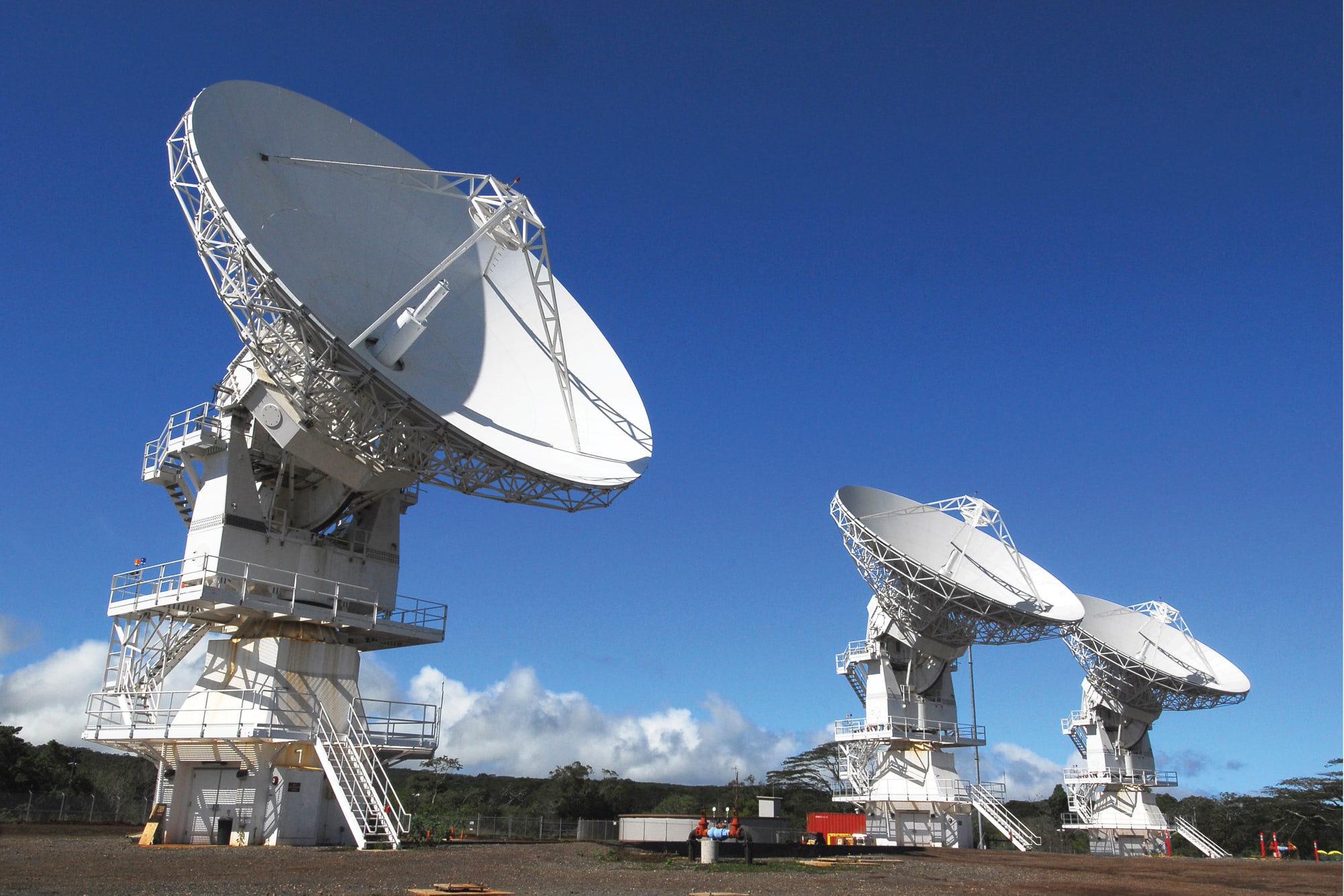
Geostationary satellite antennas require highly accurate calculations in order to be positioned correctly for communications with orbiting satellites thousands of miles away. Correct elevation and azimuth are essential to properly position the satellite for optimal communications. This is where an electronic compass comes into play.
The ECS eCompass series can detect direction and pitch and roll, and can determine azimuth without depending on external references such as cell towers or GPS. It is a durable component with low power, no moving parts, and weatherproof enclosures are available for all models.


